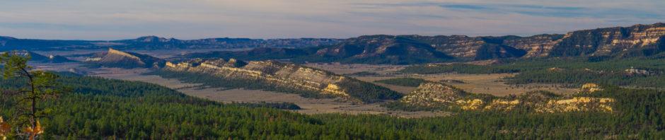
The Sandia Crest trail is just under 30 miles long as it snakes along the highest ridges of the Sandia mountains overlooking the city of Albuquerque. The first 4 miles of this trail – when entering from the north end – climbs 1700 feet up through wilderness to a lookout that provides expansive 360 degree views of the the nearby deserts, canyons and mountain ranges. It’s a trail I hike probably 30 times a year. Contemplating the geological and anthropological history of this piece of ground from this vantage point has become one of my favorite things to do. Especially so as I rarely see other humans on this trail and can easily find complete solitude while attempting to make sense of this place. Most days, only the occasional airplane flying over reminds me that I’m very close to civilization.
Today, I peer to the north over the Rio Grande river valley and wonder about how successive massive volcanic eruptions in the nearby supervolcano “Valles Caldera” conspired to form the landscape I see today. The ridge on the horizon in the picture below hides behind it a crater 14 miles in diameter – one that has had a very violent past. Layer upon layer of volcanic material built into a massive volcanic ridge beguile us into believing that it always looked this way. When, according to geologist, more than 600 cubic kilometers of rock and ash were blown off the top of this ridge around a million years ago. And, there were other massive explosions before the most recent one.
Geologist also say that the timing of the next ridge-transforming eruption is anyone’s guess. I do enjoy sitting here on this rock contemplating what the next ridgeline might look like and hoping that I’m out of town when the volcano decides to do it’s inevitable remodeling.
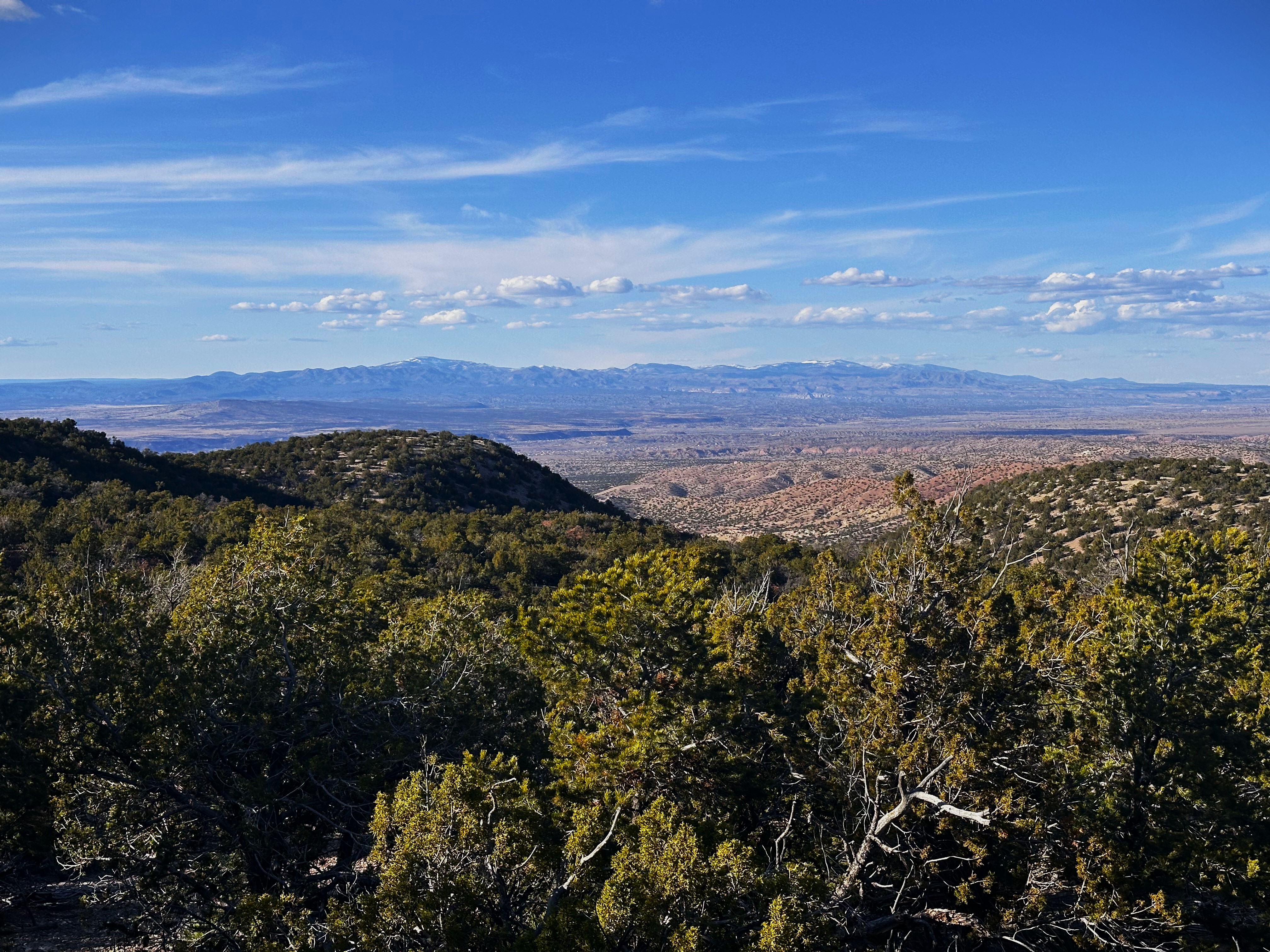
The Valles Caldera