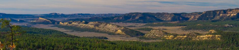
Chama River Wilderness looking south
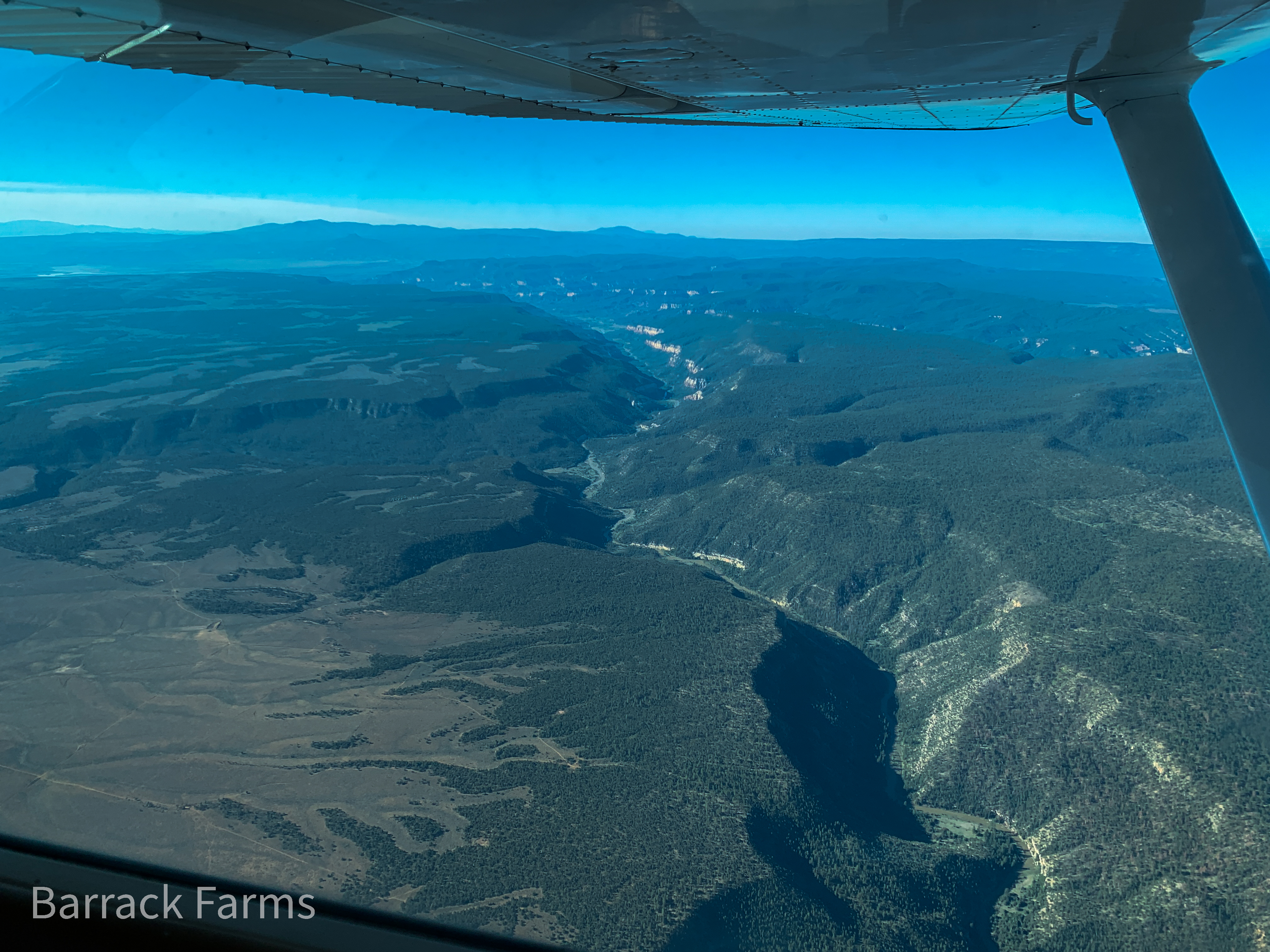
Here, you are looking south down the Chama River after it exits the El Vado Reservoir in north central New Mexico and flows south to Abiquiu lake and on to the Rio Grande River. The mountains on the horizon are the Jemez mountains (left) and the San Pedro Parks (right) that lie about an hour by car north of Albuquerque. The river cuts a gash through this vast wilderness up to 1,500 feet deep before it exits the canyon, turns east and settles into the lake. Erosion in the lower canyon walls exposes millions of years of colorful sediments and the hogback ridges upland to the east and west hint at the crustal stretching and faulting that occurred on a different timescale. This is unquestionably one of the most intriguing geologic areas anywhere in the country. Pondering this panorama and trying to make sense of the geologic puzzle it represents is a delightful way to spend a day.